


 Your new post is loading...

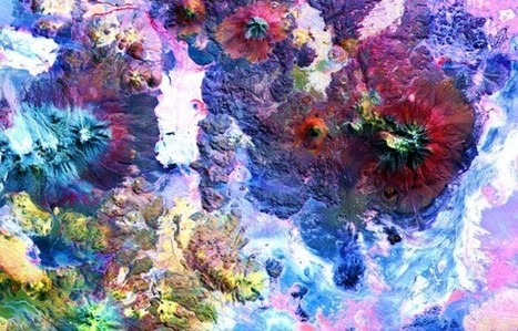

Since 1999, NASA has used ASTER (Japan's Advanced Spaceborne Thermal Emission and Reflection Radiometer) to gather images of the Earth's surface, providing a way to 'map and monitor the changing surface of our planet.' They've mapped 99% of the planet's surface over the years, generating nearly three million images, showing all kinds of things -- 'from massive scars across the Oklahoma landscape from an EF-5 tornado and the devastating aftermath of flooding in Pakistan, to volcanic eruptions in Iceland and wildfires in California.'
And now, NASA is letting the public download and use those images at no cost.


