Your new post is loading...
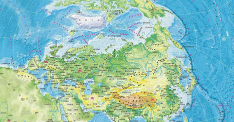
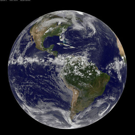
A vertical map might better represent a world dominated by China and determined by shipping routes across the iceless Arctic.
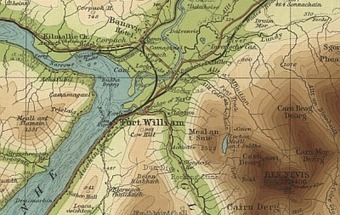
Access high-resolution zoomable images of over 200,000 maps of Scotland, England, Wales and beyond
The history of Europe is breathtakingly complex, but this two minute video helps makes sense of 2,400 years of change on the European map.
Once just a figment of the imagination, a navigable sea route through the Arctic is becoming reality due to climate change.
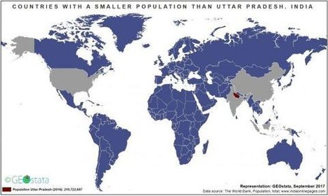
Mr Neil Kaye, a climate data scientist at Met Office, created an accurate world map that shows countries near the northern hemisphere are much smaller than people typically think.
A vision of Britain throug
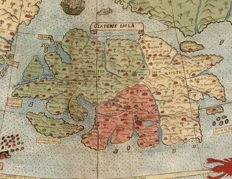
This map is so huge that it's just been assembled for the first time - 430 years after its creation.
In most countries, people have a belief about where they'd end up if they dug their way through the center of the Earth and popped up on the other side. For people in the USA, they think it’s China. For people in the UK, they think it’s Australia. Australians think it's somewhere in Europe and hope it's not the UK because the weather is too terrible there.
But prepare to readjust your childhood belief, as this interactive map will show you where you'd really end up if you were to dig your way through the Earth and somehow don't get burned to death by the core, or crushed by the intense pressure.
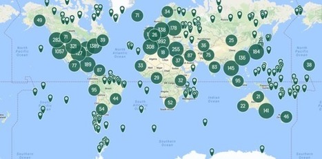
All 11,000 places in the Atlas, on one map.
video from Vox that explains why it is mathematically impossible to create a completely accurate flat world map at any scale
In lieu of a whirlwind trip round the world, check out some highlights courtesy of Google Earth.
Social geographer Danny Dorling explodes the traditional maps of the world and creates ever-changing depictions of why and how we live.
Take a look at these really awesome London maps designed by some of the city's top illustrators.
|
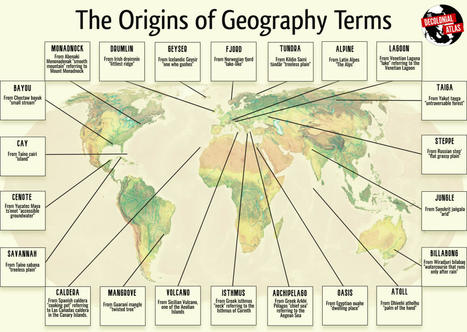
The vocabulary we use to describe landforms and landscapes comes from languages around the world. It's a prevalent example of how we rely upon the traditional ecological knowledge of peoples who know their lands best.Here are some of the etymologies: Alpine: From Latin Alpes "The Alps"Archipelago: From Greek Arkhi Pélagos "chief sea" referring to the…
The Royal Geographical Society (with IBG) supports teaching in the classroom and field by providing award-winning geographical teaching and learning resources.
If you took geography classes as a child, you were probably taught that Earth has seven continents:
North America
South America
Africa
Europe
Asia
Australia
Antarctica
But according to new research, there may be one more you've been missing. A new…
What does the name of your country really mean?
This data visualization compares the elevation span of every country, ranging from the mountain peaks of Bhutan, to the Dead Sea depression.
This “Histomap,” created by John B. Sparks, was first printed by Rand McNally in 1931. (The David Rumsey Map Collection hosts a fully zoomable version
Stretched across a tree-peppered expanse in Southern Africa lies the ruins of Great Zimbabwe, a medieval stone city of astounding wealth. Located in the
Hakluyt Society: scholarly books on voyages of discovery, history of navigation, exploration, nautical travels, maritime history and geographical discovery
MessageToEagle.com – There is not much information about the Selden Map of China, one of the first Chinese maps to reach Europe. It arrived at the Bodleian Library at the University of Oxford in 1659 after having been donated by prominent London lawyer John Selden who it is believed must have acquired it by 1653 …
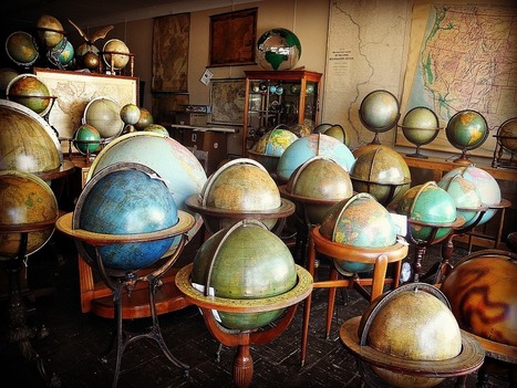
With 24,000 maps and 760 globes, Murray Hudson's cartographic stash is full of treasures.
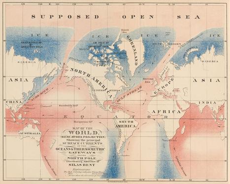
The reason why certain countries looks bigger or smaller than others is because of something called the Mercator Projection. Putting a 3D planet on a two
|