IELTS, ESP, EAP and CALL
18.5K views | +0 today
Follow
IELTS, ESP, EAP and CALL
Interesting links and articles related to IELTS, ESP, EAP and E-learning.  Available to teach ESP, EAP, Research Skills, IELTS, TOEFL and General English.
Curated by Dot MacKenzie
Your new post is loading...
Scooped by Dot MacKenzie
Scoop.it!

Where Does Your Water Come From?

Where Does Your Water Come From? | IELTS, ESP, EAP and CALL | Scoop.it

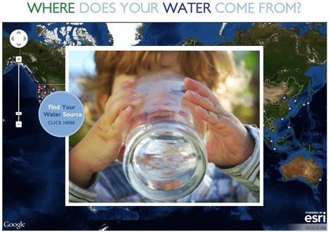
This interactive map documents where 443 million people around the world get there water (although the United States data is by far the most extensive).  Most people can't answer this question.  A recent poll by The Nature Conservancy discoverd that 77% of Americans (not on private well water) don't know where their water comes from, they just drink it.  This link has videos, infographics and suggestions to promote cleaner water.  This is also a fabulous example of an embedded map using ArcGIS Online to share geospatial data with a wider audience.  


Tags: GIS, water, fluvial, environment, ESRI, pollution, development, consumption, resources, mapping, environment depend, cartography, geospatial. 

No comment yet.
Scooped by Dot MacKenzie
Scoop.it!

World Bank eAtlas of Global Development

"The World Bank eAtlas of Global Development maps and graphs more than 175 thematically organized indicators for over 200 countries, letting you visualize and compare progress on the most important development challenges facing our world. Most indicators cover several decades, so you can see, for example, how 'life expectancy at birth' has improved from 1960 up through the latest year."  This tool should greatly enhance student projects as they will add more data, and see bigger patterns.  To go to the link visit: http://www.app.collinsindicate.com/worldbankatlas-global/en

No comment yet.
Scooped by Dot MacKenzie
Scoop.it!

Interactive World Statistics

Interactive World Statistics | IELTS, ESP, EAP and CALL | Scoop.it

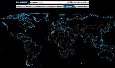
The Brazilian government's geographic department (Instituto Brasileiro de Geografia e Estatística-roughly equivalent to the U.S. Census Bureau) has compiled an fantastic interactive world factbook (available in English and Spanish as well as Portuguese).  The ease of navigation allows the user to conduct a specific search of simply explore demographic, economic, environmental and development data on any country in the world.    


Tags: population, worldwide, statistics, mapping, zbestofzbest.

No comment yet.